 for
those who want to drive safely in Mexico
for
those who want to drive safely in MexicoBaja California Road Logs, Driving Guides and
Camping Directory
for
those who want to drive safely in Mexico
"This is the second year we have used Bill and Dots 'ontheroadin" Mexican
logs for travel on the coast and interior of Mexico. They are easy to use,
save a lot of indecision and more than a lot of arguments as to where one
should turn or where there is a Pemex large enough for a large rig with a
tow. We appreciate all the work they have done to make traveling in Mexico a
great and easy adventure."
Bill and Char Wilkerson
We are
confident that our road logs and driving guides will make your highway
experiences just that much better and easier. Regardless of whether you are
driving an RV or a suburban, a bike or a pick-up, our road logs will assist your journey. Even 20
year veterans of the route have benefited from the information.
We decided to present the road from a driving perspective going SOUTH. When
your are looking at the Log, you read from the bottom of the page and read
up. The Pacific Ocean, for example, would always be on your right, just as
you would view it from your driver's seat.
The KM markings are the markings that you will see as you drive. It doesn't
matter if your vehicle reads in miles or kilometers. You just read the signs
on the road to get your bearings. Sometimes one highway combines with
another and old kilometer signs are left up. Not to worry, just continue to
read the guide.
Some of the best navigation points are the Pemex Station numbers clearly
marked on all gas station signs. Topes (Mexican speed bumps) are marked in
the guide just to remind you to go slow. We included Military and
Agriculture check points even though we know these can change frequently.
(Generally they are on one side of the state border or another between the Mexican
states.)
Tijuana to Cabo Road Log and Driving Guide
We are
confident that our road logs and driving guides will make your highway
experiences just that much better and easier. Regardless of whether you are
driving an RV or
a suburban, a bike or a pic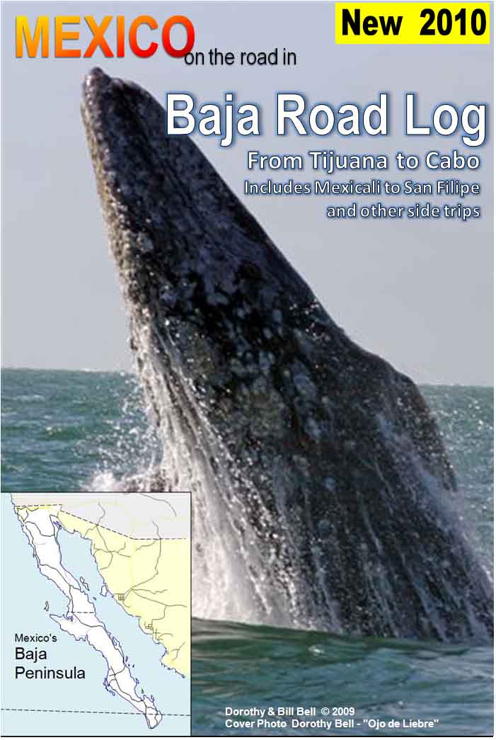 k-up, our road logs will assist your journey. Even 20
year veterans of the route have benefited from the information.
k-up, our road logs will assist your journey. Even 20
year veterans of the route have benefited from the information.
We decided to present the road from a driving perspective going SOUTH. When
your are looking at the Log, you read from the bottom of the page and read
up. The Pacific Ocean, for example, would always be on your right, just as
you would view it from your driver's seat.
The KM markings are the markings that you will see as you drive. It doesn't
matter if your vehicle reads in miles or kilometers. You just read the signs
on the road to get your bearings. Sometimes one highway combines with
another and old kilometer signs are left up. Not to worry, just continue to
read the guide.
Some of the best navigation points are the Pemex Station numbers clearly
marked on all gas station signs. Topes (Mexican speed bumps) are marked in
the guide just to remind you to go slow. We included Military and
Agriculture check points even though we know these can change frequently.
(Generally they are on one side of the state border or another between the Mexican
states.)
Buy your Baja Road Log and Guide for $12.99
Click on the buy now button and you will be directed to a merchants page. Once you pay for the camping guide you will redirected to an easy to use download page where you will be able to receive your product immediately.

Camping Guide for Baja California only -
just $5.99 Complete
directory of Baja Camping Spots
Printer Friendly!
Buy your password for Baja California Camping Guide for $5.99
Click on the buy now button and you will be directed to a merchants page.
Once you pay for the camping guide you will redirected to an easy to use
download page where you will be able to receive your product immediately.

![]()
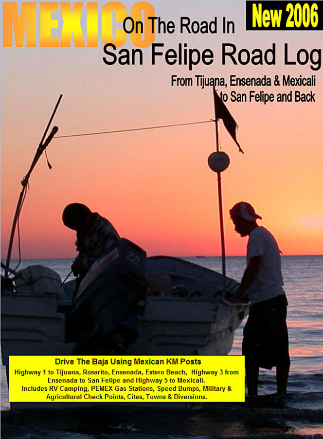
San Felipe Road Log Plus Camping Guide Download Now
Drive safely from Tijuana, Ensenada or Mexicali to San Felipe and Back for only $3.99. Includes a Camping guide for Ensenada and San Felipe. To order your password to open the download click the "BUY NOW" button below.