Patzcuaro Michoacan Mexico Photography
Photographs by Bill Bell
Pátzcuaro, which means "city of stones" in the Purepecha language, is a city
and its surrounding municipality in the central part of the Mexican state of
Michoacán. It is located at 19°51′N 101°61′W, about an hour drive between
Morelia and Uruapan and 20 minutes drive to the artists' town of Erongaricuaro.
The 2005 census population was 51,124 people in the city and 79,868 in the
municipality. The municipality has an area of 435.96 km² (168.325 sq mi) and
includes numerous smaller towns, the largest of which is Cuanajo.
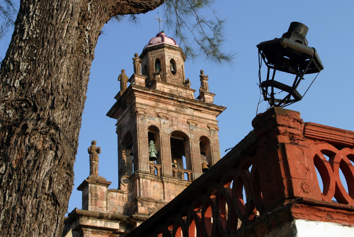
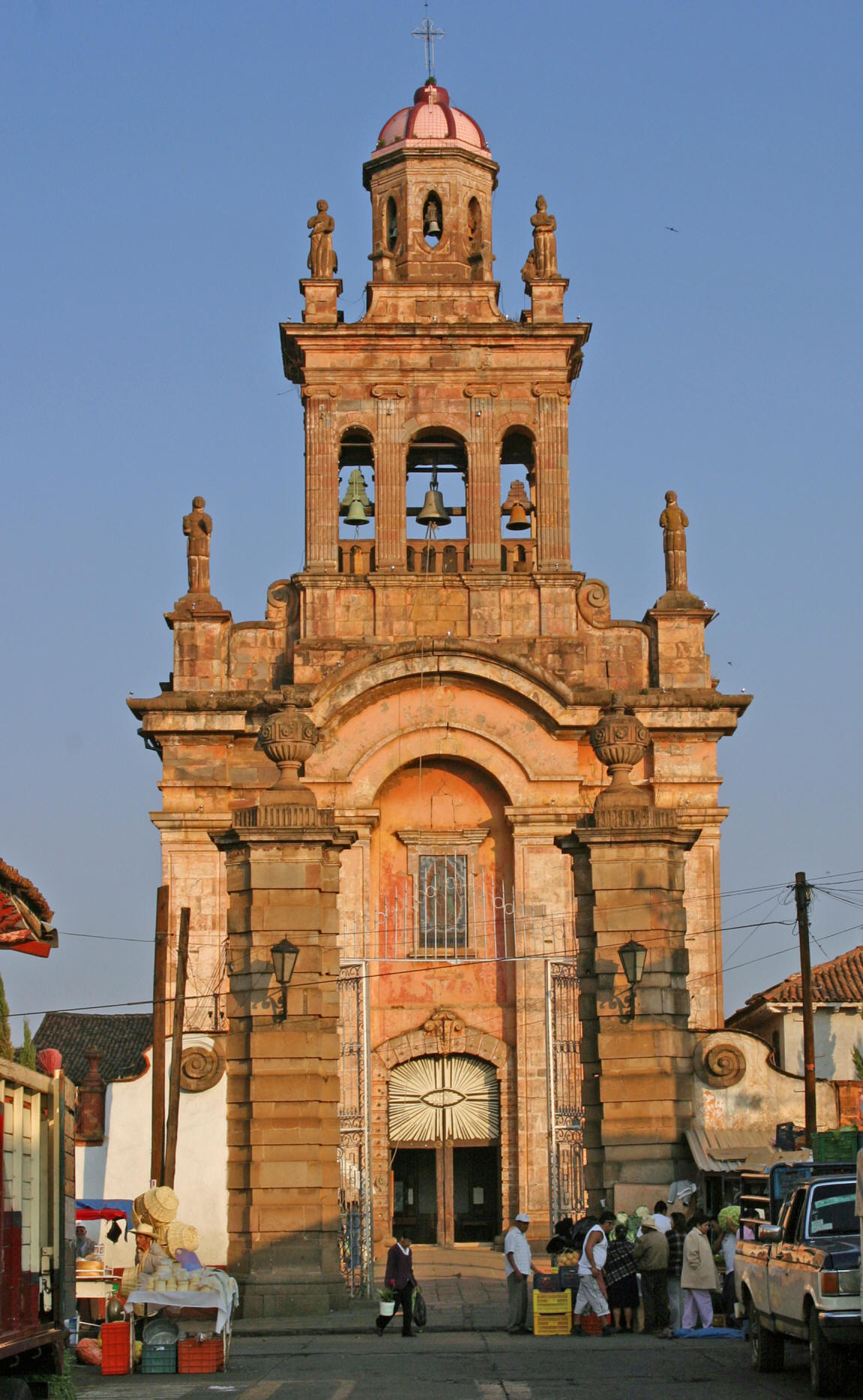
Pátzcuaro was named a "Pueblo Mágico" in 2002.
History
Before the Spanish conquest, Pátzcuaro was one of three principal centers of the
local Purepecha Indians. Its early inhabitants believed Pátzcuaro to be the
doorway to
 heaven
where the gods ascended and descended. The Purepecha people first settled in
Pátzcuaro in about 1324, led by Rey Curateme. The Spanish moved their local
government to Pátzcuaro from Tzintzuntzan in 1540. The city was developed as a
government and religious center until the government was moved to Valladolid
(now named Morelia) in 1580. It has always been of interest to Mexican history
buffs because it was central to the careers of two diametrically opposed
characters in Mexico's colonial past. The first was Nuño Guzmán de Beltrán, the
vicious conquistador who plundered the area for gold. He burned alive the local
Purepecha Indian chief when that man couldn't or wouldn't tell him where Indian
gold was hidden. Eventually his crimes against the Indians became so extreme
that the Spanish were forced to arrest him. In his place they sent Vasco de
Quiroga, a former judge from Mexico City who had become a priest.
heaven
where the gods ascended and descended. The Purepecha people first settled in
Pátzcuaro in about 1324, led by Rey Curateme. The Spanish moved their local
government to Pátzcuaro from Tzintzuntzan in 1540. The city was developed as a
government and religious center until the government was moved to Valladolid
(now named Morelia) in 1580. It has always been of interest to Mexican history
buffs because it was central to the careers of two diametrically opposed
characters in Mexico's colonial past. The first was Nuño Guzmán de Beltrán, the
vicious conquistador who plundered the area for gold. He burned alive the local
Purepecha Indian chief when that man couldn't or wouldn't tell him where Indian
gold was hidden. Eventually his crimes against the Indians became so extreme
that the Spanish were forced to arrest him. In his place they sent Vasco de
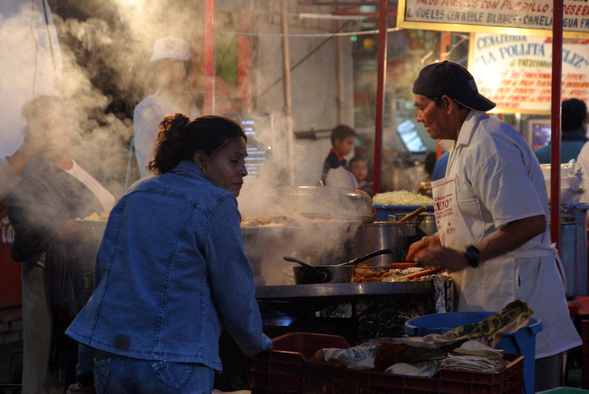
Quiroga, a former judge from Mexico City who had become a priest. Vasco de Quiroga helped the Purepecha Indians in the Pátzcuaro area by
introducing new crops, establishing schools and hospitals, and introducing craft
cooperatives in various nearby villages. While the cooperatives (an idea Quiroga
adopted from Sir Thomas More's Utopia) have not survived, village specialization
in crafts still marks the region as one of the most culturally rich in Mexico.
Vasco de Quiroga helped the Purepecha Indians in the Pátzcuaro area by
introducing new crops, establishing schools and hospitals, and introducing craft
cooperatives in various nearby villages. While the cooperatives (an idea Quiroga
adopted from Sir Thomas More's Utopia) have not survived, village specialization
in crafts still marks the region as one of the most culturally rich in Mexico.
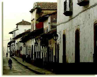
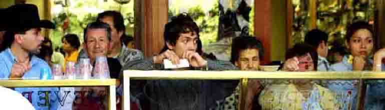
The town
Typical Pátzcuaro StreetPátzcuaro is hidden high in the mountains of Michoacán
at 2200 m (7130 feet) of elevation. It is veiled from the outside world by a
curtain of high pine trees. To the north is Lake Pátzcuaro, one of Mexico's
highest lakes. The butterfly fishermen, who dip their nets into the lake in
search of whitefish, have become a trademark of Pátzcuaro.
Go to next Patzcuaro Room