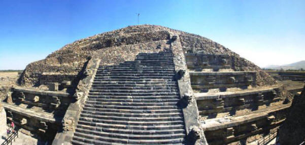
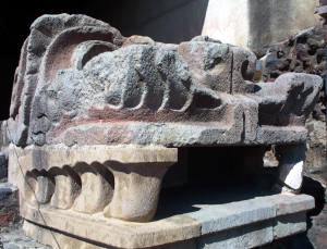
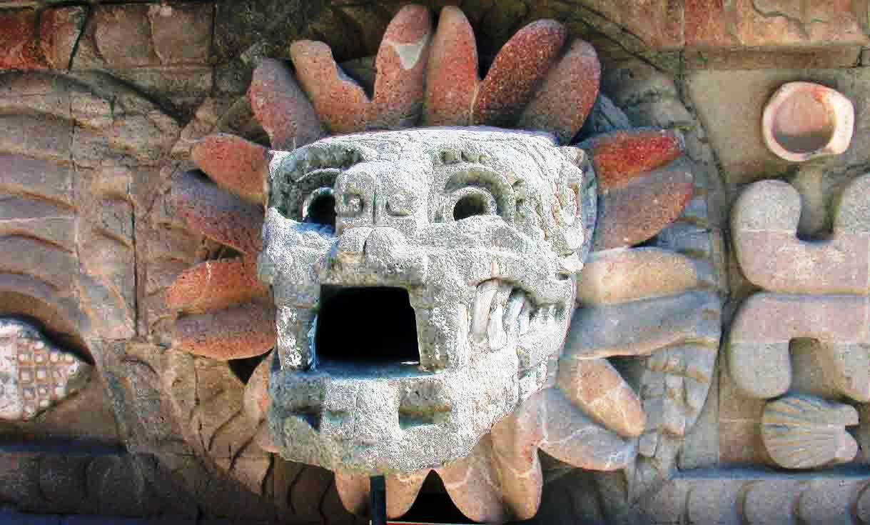
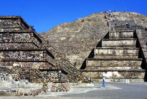
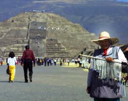
Learn Spanish Learn Spanish Today Learn Spanish

                                             HomeSpanishTrip PlanningMexico's RV ParksNevada RV & CampingPhotographsDestinations


Mexico Road Logs & Driving Guides - Click Here


Free Spanish Lessons

 
Mexico Photo's
 
Colonial Cities and Towns
 
Archeological Sites
If you travel to Mexico then you should check these publications out!
HotelsCombined.com - Hotel Search Engine
 
Free Spanish Lessons


RV Parks

The Baja

The Pacific Coast

The Gulf Coast

The Interior

The Yucatan


Teotihuacan Mexico Ancient ruins North Mexico City

Photography by Bill Bell

Teotihuacan[1] is an enormous archaeological site in the Basin of Mexico, containing some of the largest 
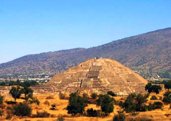
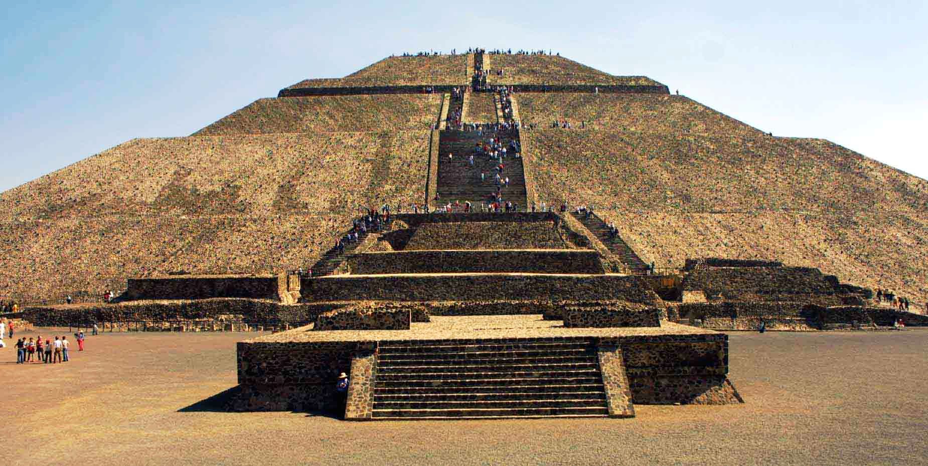
pyramidal structures built in the pre-Columbian Americas. Apart from the pyramidal 
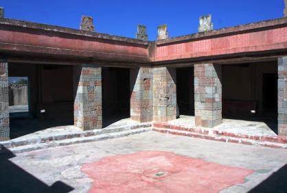
structures, the archaeological site of Teotihuacan is also known for its large resident
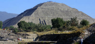
Teotihaucan Ruins Mexico Photography by Bill Bellial 
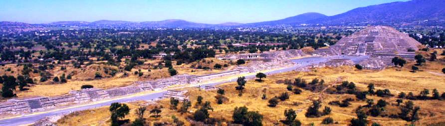
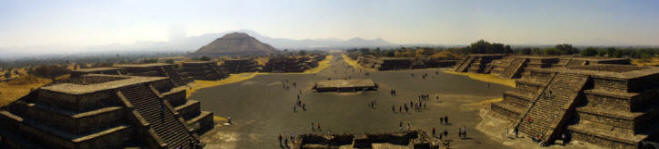
complexes, the so-called "street of the dead", and its colorful well-preserved murals.

Teotihuacan was, at its zenith in the first half of the 1st millennium CE, the largest city in the pre-Columbian Americas. During its zenith it may have had more than 100,000 inhabitants placing it among the largest cities of the world in this period. The civilization and cultural complex associated with the site is also referred to as Teotihuacan or Teotihuacano. Although it is a subject of debate whether Teotihuacan was the center of an empire, its influence throughout Mesoamerica is well documented; evidence of Teotihuacano presence, if not outright political and economic control, can be seen at numerous sites in Veracruz and the Maya region. The ethnicity of the inhabitants of Teotihuacan is also a subject of debate and possible candidates are the Nahua, Otomi or Totonac ethnic groups. Often it has been suggested that Teotihuacan was in fact a multiethnic state.

The city and the archaeological site was located in what is now the San Juan Teotihuacán municipality in the State of México, Mexico, approximately 40 kilometres (25 mi) northeast of Mexico City. The site covers a total surface area of 83 km² and was made a UNESCO World Heritage Site in 1987, and is one of the most visited archaeological sites in Mexico.


Teotihuacan Bill Bell Photograph

A wide angle view of The Temple of Quetzalcoatl with its decoration the water serpent and earth monster

Teotihuacan Bill Bell Photograph

Avenue of the dead and Pyramid of the Moon (double click on picture to view in larger format)

To view in larger format click on photo


Teotihuacan Bill Bell Photograph    Teotihuacan Bill Bell Photograph

                                                              Pyramid of the Sun

Pyramid of the Moon

Teotihuacan Bill Bell PhotographTeotihuacan Bill Bell Photograph


Teotihuacan Bill Bell Photograph

Panoramic view

Teotihuacan Mexico Ancient ruins North Mexico City


Teotihuacan Mexico Ancient ruins North Mexico City


Teotihuacan Mexico Ancient ruins North Mexico City


Teotihuacan Mexico Ancient ruins North Mexico City

Teotihuacan Mexico Ancient ruins North Mexico City


More photography

Closest RV Park


Mexico Road Logs & Driving Guides - Click Here


Free Spanish Lessons


Copyright Bell and Bell 2006 to 2009. All rights are reserved.

No part of this site, road logs or CD can be reproduced in any form without the express permission in writing of the authors.

For the problems or the questions with respect to this site contact dot@ontheroadin.com

On the Road in Mexico provides thousands of pages of free information.  Although we make some money off of our road logs, the current update of the entire Mexico Site can use your financial support.  If you enjoy this site  please consider making a small donation through paypal