MEXICO ON THE ROAD IN
Home
○Regions
○
Planning & Info ○
RVing ○
Road Logs ○ Insurance
○ Photos
○
Mexico News ○
Ontheroadin
![]()
|
MEXICO ON THE ROAD IN
Home
○Regions
○
Planning & Info ○
RVing ○
Road Logs ○ Insurance
○ Photos
○
Mexico News ○
Ontheroadin
|
|
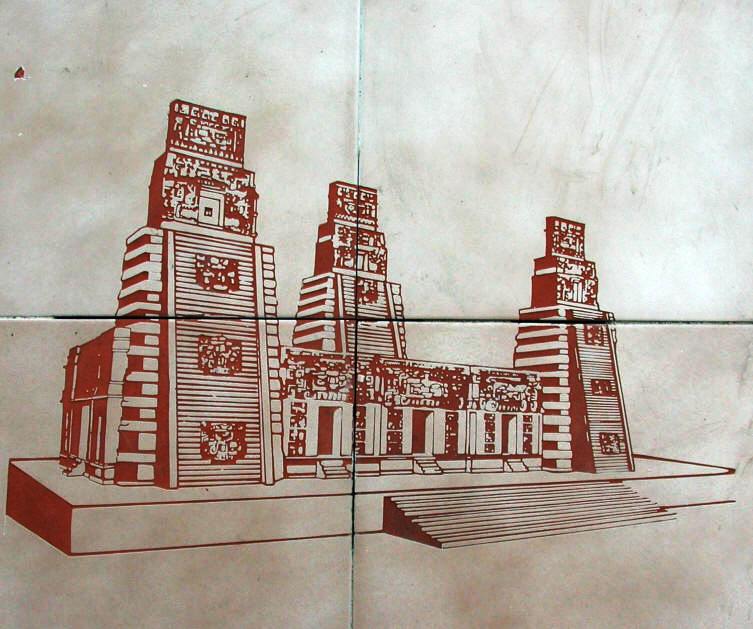
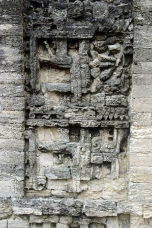
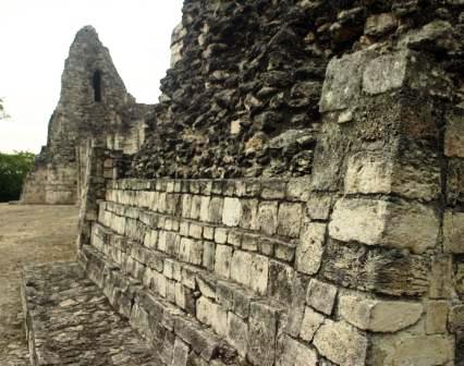
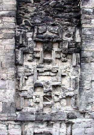
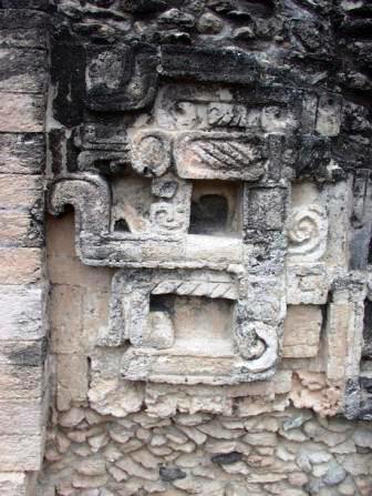
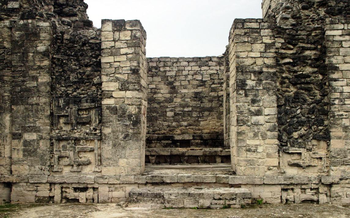
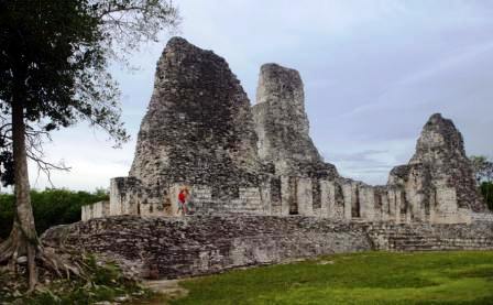
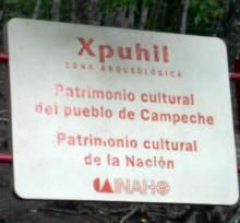
Xpuhil, Quintana Roo Mexico Mayan ruins Photography by Bill Bell Locate on Highway 186 on the border between Quintana Roo and Campeche Xpuhil (also Xpujil) is a Maya archaeological site
located in the M To view photographs in larger format click on them.
|
|
Copyright Bell and Bell 2006 to 2009. All rights are reserved. No part of this site, road logs or CD can be reproduced in any form without the express permission in writing of the authors. For the problems or the questions with respect to this site contact dot@ontheroadin.com
|

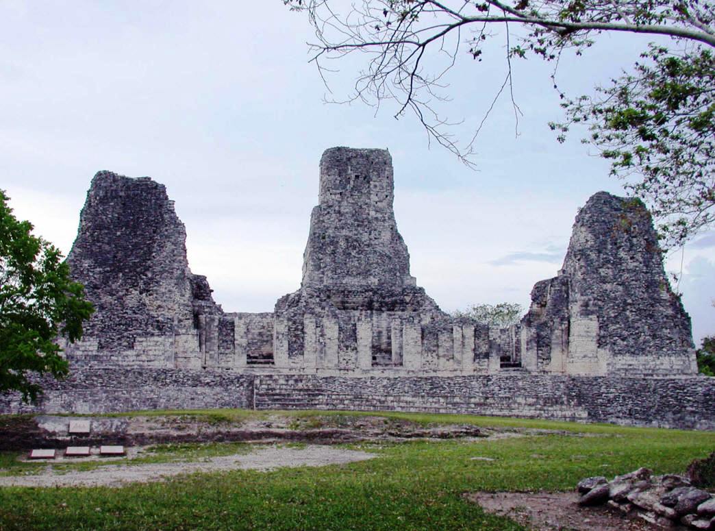
 ce.The
name xpuhil means "cat's tail" in reference to a type of vegetation found
locally.
ce.The
name xpuhil means "cat's tail" in reference to a type of vegetation found
locally.