
Home
Regions
Planning & Info
RVing Archeology
Articles
Road Logs Insurance Photos Mexico News Ontheroadin![]()
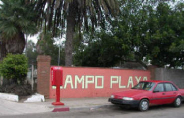
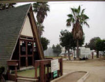
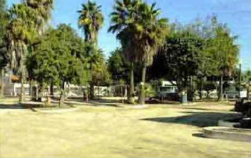
Campo Playa RV ParkEnsenada, Baja California Phone: (011-52-) 656-176-2918 Email: camplaya@telnor.net
Electricity 15 & 29 amp Water Sewer In the City 50 back in and pull thru sites |
* What You Should Consider for Your Visit
|
|
|
Getting there Directions: From the North follow Highway 1 to Lazaro Cardenas - just stay close to the water. Continue approximately 3 kms. Keep an eye out for a Pemex on the right hand side. Turn at Pemex on Calle Agustin Sangines. Go one block and turn left. If you are coming from the South along Highway 1, proceed until you see a Soriana supermarket on your left. (You have already passed one on your right). Make a left hand turn (West) and drive 6 or so blocks - until you see the RV signs - with the park on your right. It is behind a Pemex 6036.
GPS: N31*81.645 W116*60.231 Map
|
Baja Road Log and Guide for $12.99
|


On the Road In - Mexico
editor@ontheroadin.com