|
Home
Regions
Planning & Info
RVing Archeology
Articles
Road Logs Insurance Photos Mexico News Ontheroadin |
|
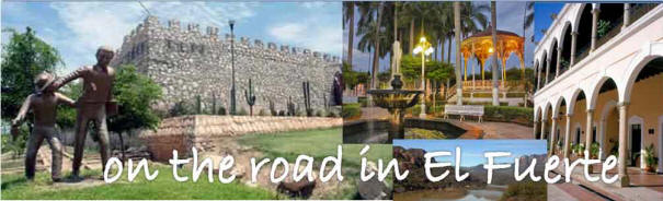
“The Strong” “The Fort”
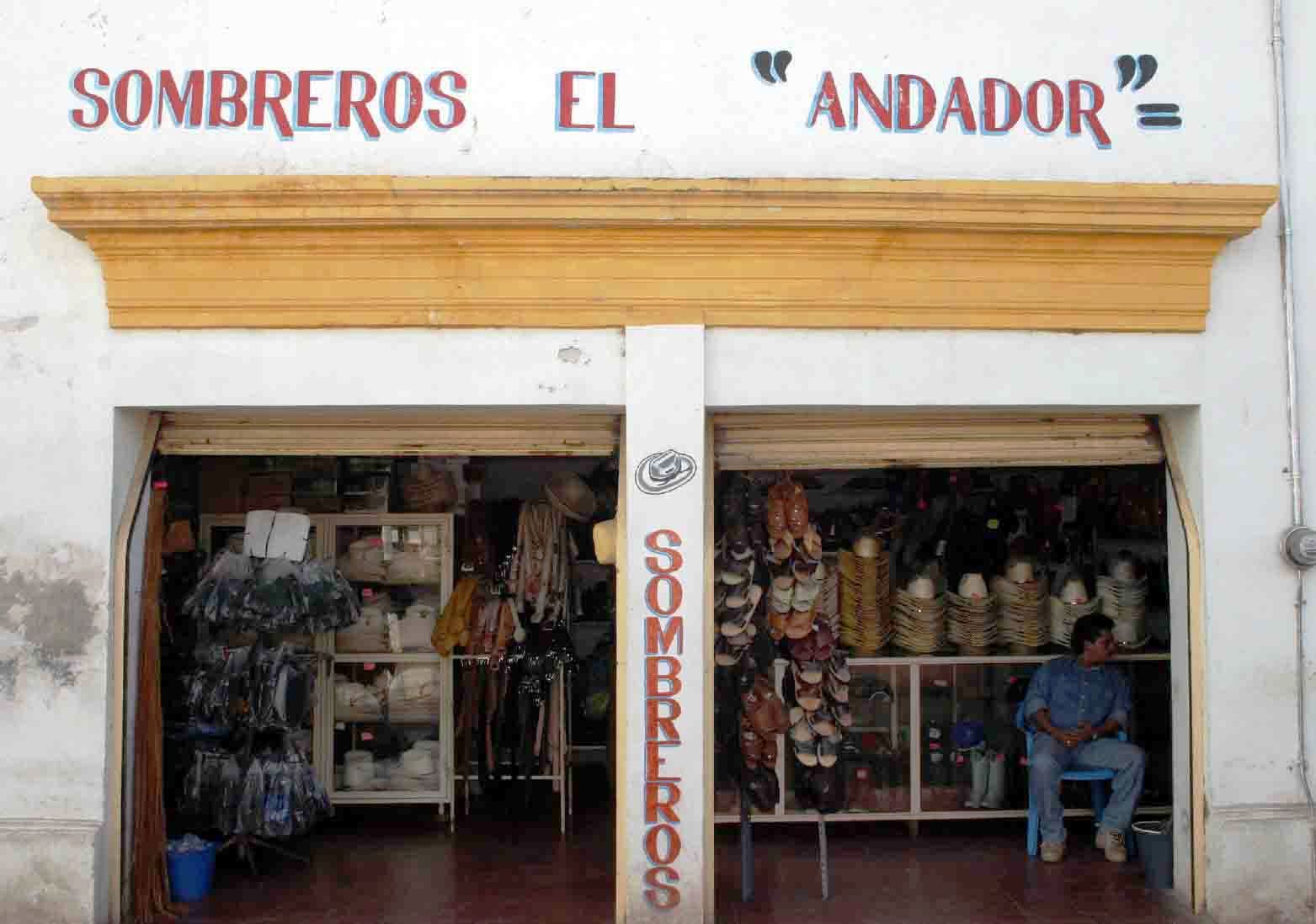
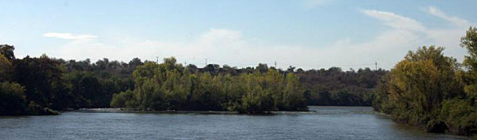
El Fuerte is a charming colonial town packed with plenty of history and charm. A trading outpost for mining and commercial operations made this colonial gem flourish. It is not gentrified and part of the charm is imagining the beauty underneath the 4 -500 years of history. It is a great place to Board the Copper Canyon Train as the area is mainly flat and monotonous from Los Mochis to El Fuerte.
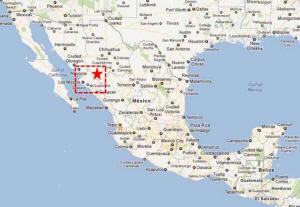
El Fuerte Fast Facts Originally Named San Juan Bautista de Crapo. Derived the current name from the fort built by Captain Diego Martinez de Hurdaide. Location – A small colonial city situated on the El Fuerte River in the North Eastern part of the state of Sinaloa. Weather – Warm winters and hot summers with excessive rainfall in July, August, September. January average Highs 27.7 C (81.9F) Lows 7.5C (45.5 F) July Average Highs 37.7C (99.9F) Lows 24C (75.2F) Population – 30,000 Elevation – 180 m Founded – 1564 by Francisco de Ibarra “The Phoenix of the Conquerors", Spanish Conquistador Medical – Hospital, Doctors, Dentist Money – Bancomer, Bank and ATM History El Fuerte was founded
by Spanish Conquistador Francisco de Ibarra who was exploring
the Sierra Madre Occidental mountains. The forte was built to
protect the Spanish from the Zuaque and Tehueco Indians.
It became an important gateway to the Californias, Arizona and Sonora as it was situated on the Camino Real, (a mule train trail from Guadalajara to Alamos) and for 300 years dominated the commercial and agricultural sectors of Northern Mexico, the chief trading house in the area for silver and gold miners. It was declared the state capital in 1824 of then Sonora y Sinaloa which also encompassed parts of Arizona. Made a Pueblo Magicos in 2009. Things to See and Do Copper Canyon The train station is a few miles east of Town. Hunting and Fishing Ask at your hotel for a local guide to take you hunting in the foothills or fishing in the El Fuerte River or in the Hidalgo or Domingez Reservoirs for big mouth bass
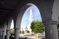
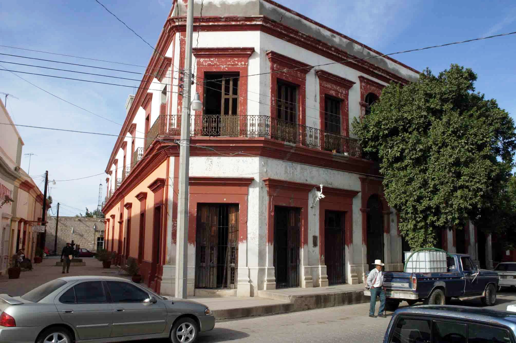
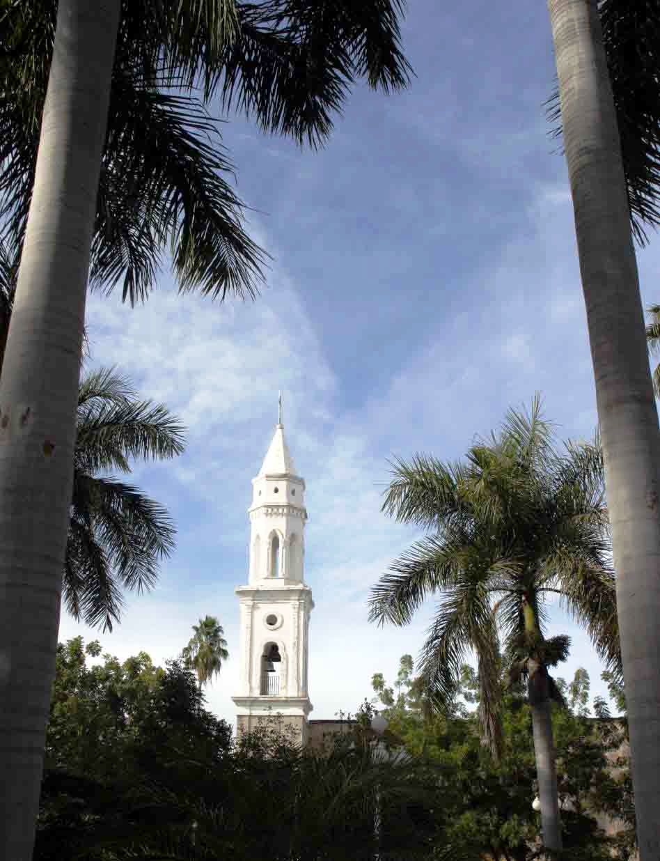
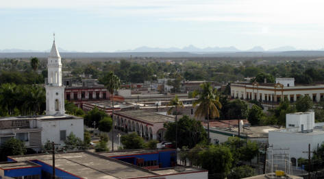
Petroglyphs The Hill of the Mask is a petroglyph complex, one of the largest in Sinaloa. On the bank of the Rio Fuerte approximately 5 kilometers from the city, the site contains 45 stones that contain more than 100 engravings between 800 and 2500 years old. Visit the forte Visit the replica of the fort. A good vantage point for photos. Enjoy the Colonial architecture of the city The Municipal Palace, the Plaza de Armas, La Casa de la Cultura, the Hotel Posada del Hidalgo, The Church Sacred Heart of Jesus, The House of the Constitutional Congress, Orrantia Family Mansion, the Old Town Hotel Errands, House of the General Pablo Macías Valenzuela. Accommodation: Hotels RV Parks
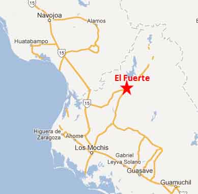
Drive Highway 15 down the pacific coat of Mexico and turn east in Los Mochis at PEMEX 7027 (Between KM 0 in the North and KM 203 in the South) to Highway Sinaloa 32. Drive approximately 88 KMs
|
Back to Mexico's West Coast Cities, Towns, Pueblos
*
|
|
What You Should Consider for Your Visit
|
|
 El Fuerte, Sinaloa
 Directions:


On the Road In - Mexico
editor@ontheroadin.com