|
Home
Regions
Planning & Info
RVing Archeology
Articles
Road Logs Insurance Photos Mexico News Ontheroadin |

|
Photography by Bill Bell
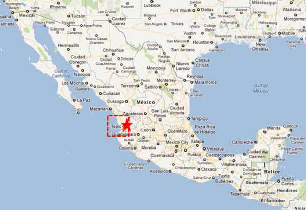
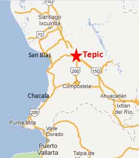
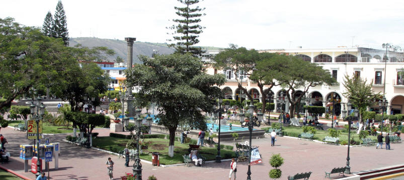
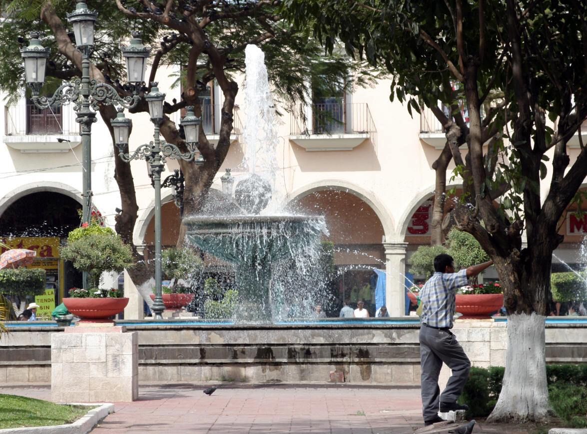
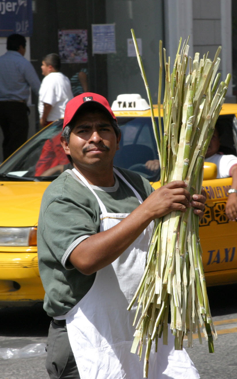
It is located in the central part of the state. It stands at an altitude above sea level of some 915 metres, on the banks of the Río Mololoa and the Río Tepic, approximately 225 kilometers north-west of Guadalajara, Jalisco. Nearby are the extinct Sangangüey volcano and its crater lake. Tepic is the primary urban center of this rich agricultural region; major crops include sugarcane, tobacco and citrus fruits. The city was founded in 1542. In the 2005 census, it reported a population of 295,204 people. Its surrounding municipality of the same name had a population of 336,403. The municipality has an area of 1,983.3 km² (765.8 sq mi).
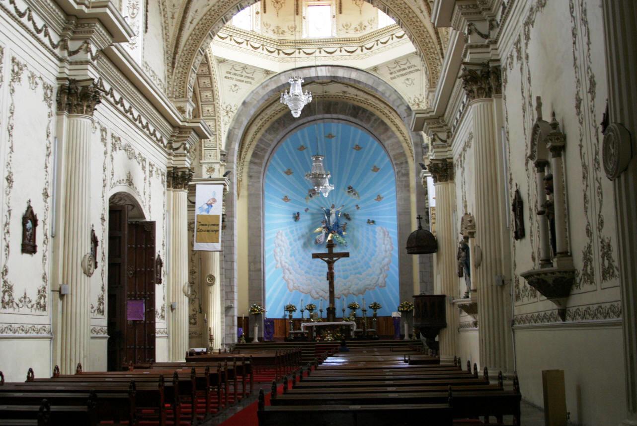
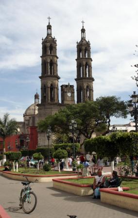
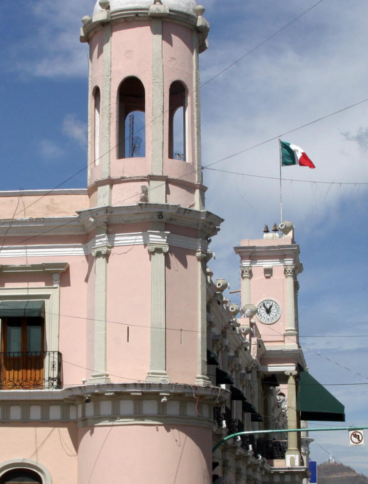
Main sights The 19th century Palacio de Gobierno (Government Palace), with a neo-classical portal. Cuatro Pueblos Museum, showcases the culture of the main four ethnic groups: huicholes, coras, tepehuanos and mexicaneros. Cathedral of the Purísima Concepción de María: this structure was built in the 18th century. The 16th century Temple of the Cruz de Zacate was originally a Franciscan convent; today it houses the State Ministry of Tourism. The Amado Nervo Museum displays photos and texts of poet Amado Nervo, who was born in this house in 1870. The Regional Museum of Anthropology and History offers archaeological exhibits and the ethnography of the Cora and Huichol indigenous peoples. In the Casa de la Cultura (House of the Culture) there are murals by Mexican artist José Meza as well as other periodic cultural and artistic exhibits.
Click on any photograph to view in larger format
|
Back to Mexico's West Coast Cities, Towns, Pueblos
*
|
|
What You Should Consider for Your Visit
|
|
 Tepic, Nayarit
 Tepic
is the capital and largest city of the Mexican state of Nayarit.
Tepic
is the capital and largest city of the Mexican state of Nayarit.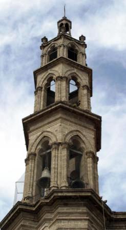


On the Road In - Mexico
editor@ontheroadin.com