Cancun Quintana Roo Mexico Photography
Bill and Dot Bell Photographs Click on photographs to view in larger format
Cancún (pronounced as IPA: [kanˈkun]) is a coastal city in Mexico's easternmost state, Quintana Roo, on the Yucatán Peninsula. Cancun is located on the Yucatan Channel that separates Mexico from the island of Cuba in the Greater Antilles. The Cancun region is sometimes known as the Mexican Caribbean.
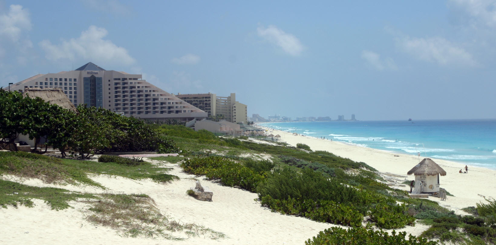
Cancun is the municipal seat of the Benito Juárez municipality and a world-renowned tourist resort. The city centre is located on the mainland which connects the Nichupté and Bojórquez lagoons to a narrow "7" shaped island where the modern beachfront hotels are located. The island of Isla Mujeres is located off the coast and is accessible by boat from Puerto Juarez.
The older section of the city, known as "El Centro" follows the original master plan, consists of neighborhoods called "supermanzanas" (superblocks) that are formed by the intersections of the boulevards and traffic circles (roundabouts). This area is characterized by winding streets with culs-de-sac that tend to keep out the main flow of traffic, including market places such Xel Ha. They usually have one or more parks, green spaces, paseos (pedestrian walkways) and various national historical monuments.
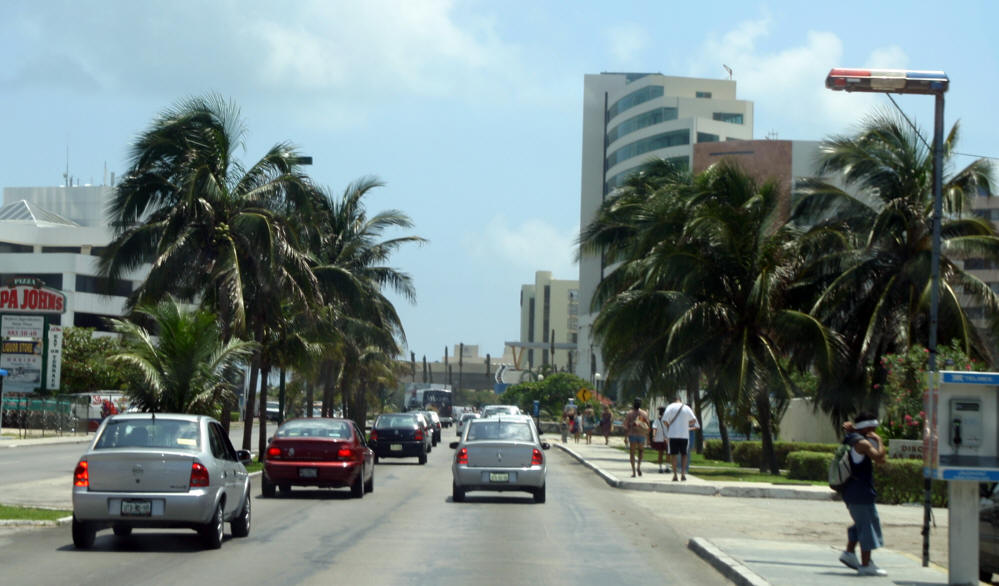
Ave. Tulum is the main north-south artery (connecting downtown to the airport some 30 km (19 mi) to south). Tulum is bisected by Ave. Coba (pronounced Koh bah). East of Ave. Tulum, Coba becomes Ave. Kukulcan which serves as the primary road that runs through the long "7" shaped hotel zone. Ave. Tulum is terminated on the north side by Ave. Paseo José López Portillo which connects to the main highway to Chichen Itza and Merida. Another major north-south road is Ave. Bonampak which runs roughly parallel to Ave. Tulum. The main ferry to Isla Mujeres is located off Bonampak.
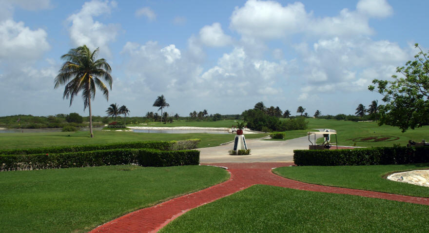
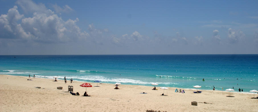


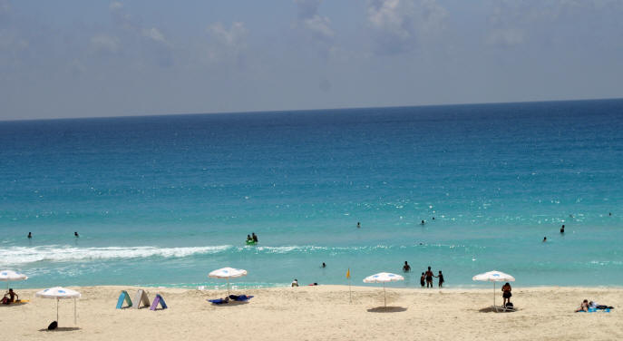
 Cancun is one of the top vacation destinations in the world, with a great year-round warm sun, its gorgeous sandy white beaches washed by the Caribbean that are ideal for water sports. Cancun offers entertainment for all ages.
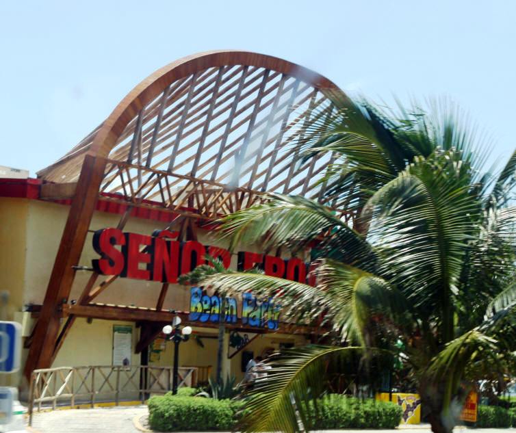
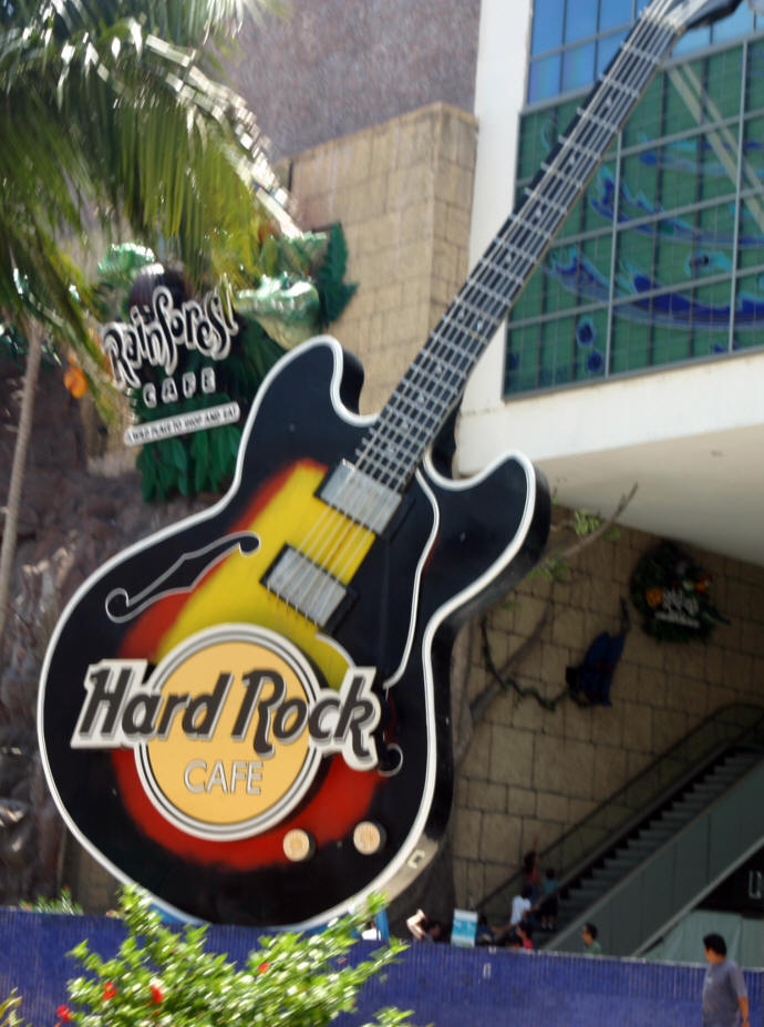
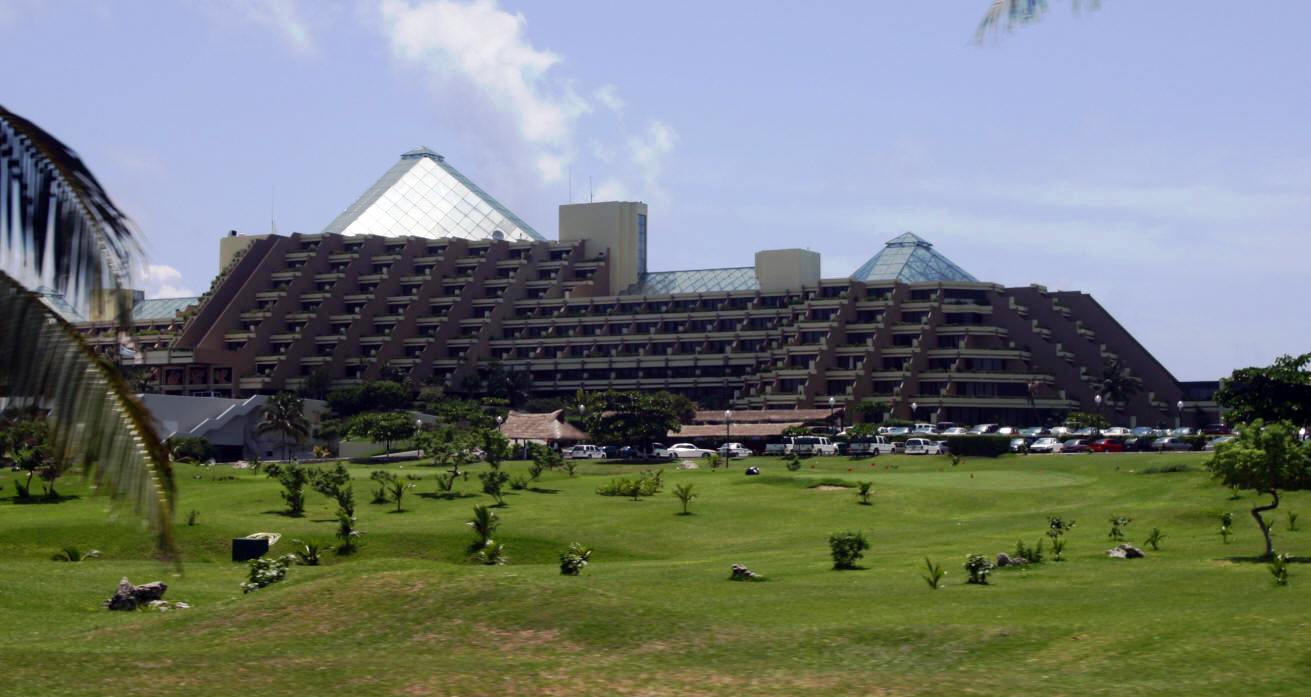
In Cancun it’s easy to find excellent hotels, gourmet restaurants, and great places for shopping...more
Cancun is one of the top vacation destinations in the world, with a great year-round warm sun, its gorgeous sandy white beaches washed by the Caribbean that are ideal for water sports. Cancun offers entertainment for all ages.
In Cancun it’s easy to find excellent hotels, gourmet restaurants, and great places for shopping...more
To view other Bill and Dot Bell Photography of Cities Towns and Villages of Mexico click Here