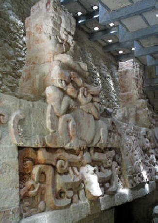
 Balam Kú Balam Kú
Mayan Ruin
Campeche Mexico
Photography by Bill and Dorothy Bell
Near the village of Conhuas, in the Rio Bec area on Federal Highway 186 , a
jungle track leads to an archaeological site with truly exceptional Mayan
reliefs. Recently discovered (1990), the zone was given a name meaning
"Temple of the Jaguar", in reference to the felines characterizing the profuse
decoration on the House of the Four Kings.
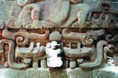
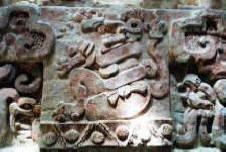
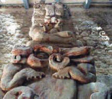
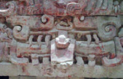
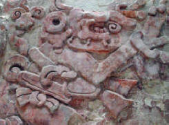
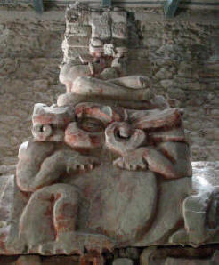
Aside from its jaguars, the large frieze is decorated with different
figures -the Kings-, who are shown sitting upon amphibious creatures resting
upon masks. These red, painted stucco reliefs date from the early Classic period
-250 to 600 AD-, and were covered by another pre-Hispanic building which may
possibly have been built after the reliefs had lost their ritual significance
for the local population.
The frieze shows that the dynastic cycle is similar to its solar counterpart,
with the King depicted as a representation of the Sun, and therefore fertility,
emerging from the jaws of the monster of the Earth, just as the sun rises from
the mouth of the Earth.
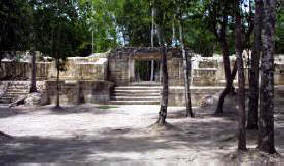
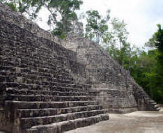
The house of the Four Kings is located to the north of a square surrounded by
other constructions, one of which serves as an entrance to the site.
GPS - N 18*33.290 W
089*56.599
|


